Home
About
Insights
Methodologies
Launch Platform
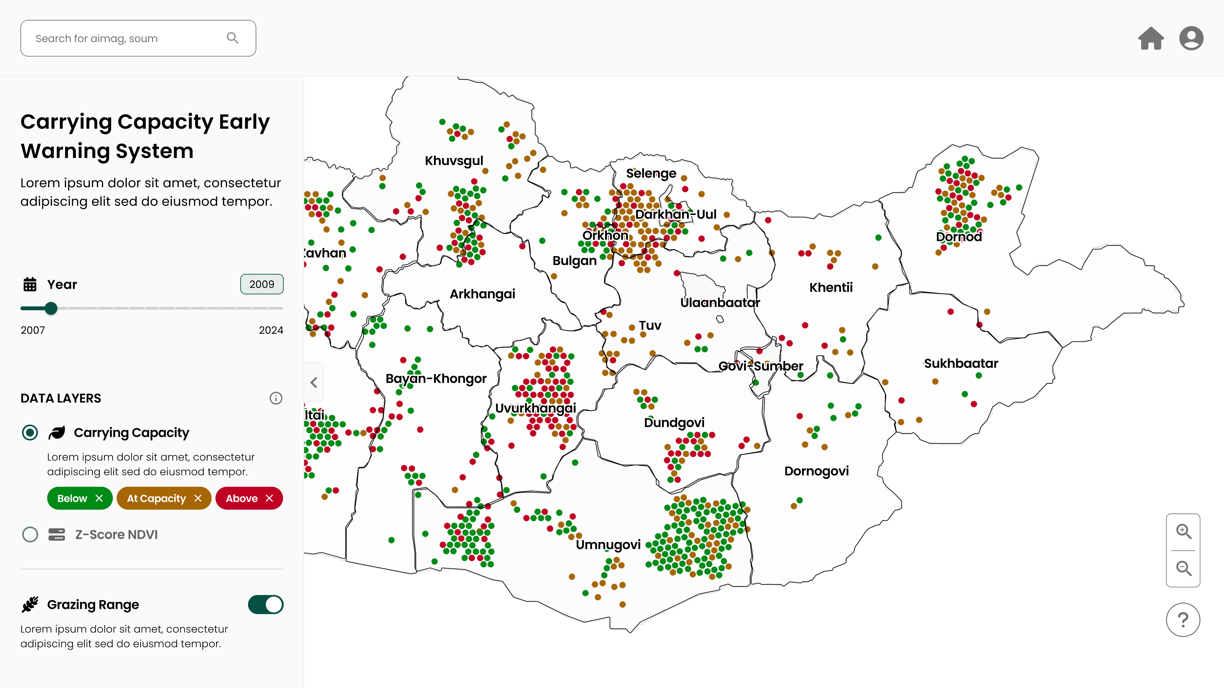
Tracking Mongolia's Grassland Health, One Pixel at a Time
Make informed livestock decisions with visual access to rangeland conditions in your area. Use this data to better plan grazing and adapt to environmental change.
A Platform for Every Stakeholder

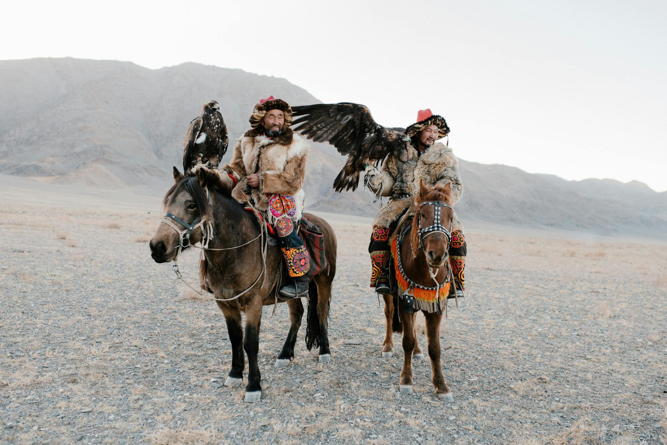
Herders
Use satellite-backed parametric indices to improve basis risk calculations, set transparent triggers, and design smarter, scalable livestock insurance products.

Risk & Insurance Professionals
Use satellite-backed parametric indices to improve basis risk calculations, set transparent triggers, and design smarter, scalable livestock insurance products.

Policymakers
Use satellite-backed parametric indices to improve basis risk calculations, set transparent triggers, and design smarter, scalable livestock insurance products.
About Us
We’re a small team with backgrounds in remote sensing, data science, and sustainable development working to build practical tools for climate adaptation in Mongolia.
Data 'At A Glance'
We visualize 15 years of satellite and ground-based data to show how carrying capacity and pasture health have changed across Mongolia. Get a national picture of grassland health trends over time. Support sustainable land use and climate adaptation policies grounded in real-time data.
Our Methodologies
Use satellite-backed parametric indices to improve basis risk calculations, set transparent triggers, and design smarter, scalable livestock insurance products. Make informed livestock decisions with visual access to rangeland conditions in your area. Use this data to better plan grazing and adapt to environmental change.